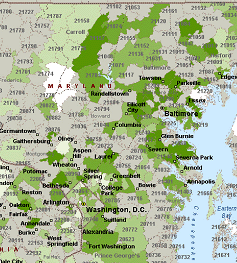
Click Image to Enlarge
Maps Show YP Coverage by seeing where each directory is distributed customers can make more informed decisions on where to advertise.. Our mapping software will color code each book to show the demographic or business statistics that you are most interested in reaching to help pinpoint where your target audience is located.
We can also map for you where your current existing customers are located by YP area or by zip code.
|
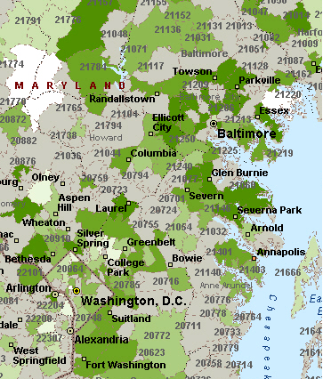
 Click Image to Enlarge
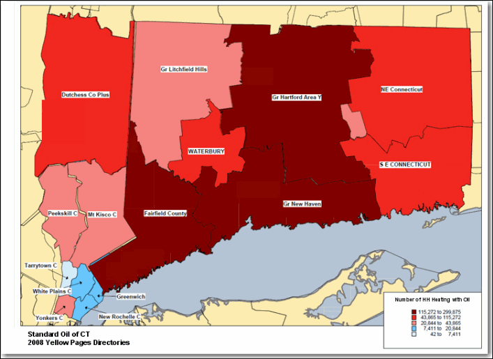
|
Maps with Yellow Pages Distribution Areas –
each books boundaries are mapped
so that the customer can see the
coverage provided by one book vs
another. They are also color coded
to show the number of households
using Oil as the primary heat source
(Census Bureau data)
|
|
|
Plot Customer Specific Data
- Maps can plot customer Specific
data, such as the # of existing
customers by zip code that we translate
to show by YP directory area
|
|
|
|
|